Pha Chor Canyon new tourist attraction in Chiang Mai

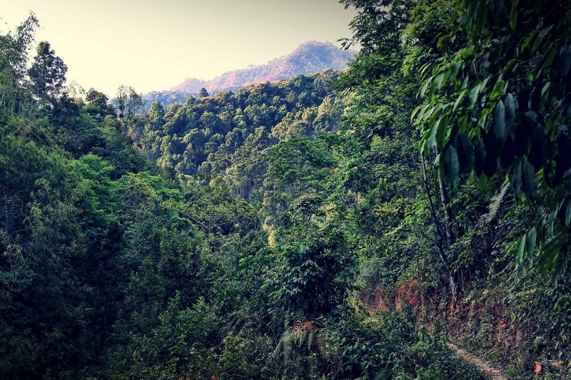
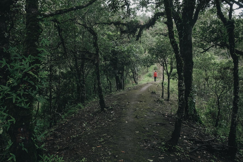
Pha Chor is at Mae Wang National park, take approx one hour drive from Chiang Mai city. It is the new attraction for hiking & trekking. Walk alongside the walking trail round 45 – 60 mins to discover the canyon and delightful panoramic scene.


Pha Chor information
Pha Chor, Chiangmai. Nature can generate many unexpected fantastic things. The passing of time can change the topography of an area and may create unusual sights. Pha Choi and Kew Sua Ten are a natural phenomenon of eroded soil pillars. It is believed that this used to be the Ping River waterway. After the river changed way the location turned a hill from the river belittlement that piled up into layers. After time passed, it eroded and have become cliffs and soil pillars of strange shapes. Similar to Phae Mueang Phi in Phrae and Phang Ta in Phayao, Pha Chor pillars are 30 meters high around a canopy of forest and covers a big area.


The path is perfectly marked with some data boards you’ll find out about crops/trees within the area. The walk is nice chilled out on the way, with the final stair taking you to the viewpoint.


Entrance:
- Foreigners: adults 100 baht, kids 50 baht
- Thai Residence : adults 20 baht, kids 10 baht
- Car 30 baht, motorbike of 20 baht
Best time to go :
The Pha Chor can be visited at any time of the year, but it is best to go during the winter season (November – February).


How To Get To Pha Chor
Pha Chor is located in Mae Wang National Park, Doi Lo district, Chiang Mai province. From Chiang Mai city, take highway no.108 (Chiang Mai – Hod) for about 21 kilometers, turn right to Mae Wang district along rural highway no.12039 and no.10240 (Mae Win – Bo Kaew) for about 36 kilometers arriving at Mae Wang National Park.
- By local taxi or car : Sadly, there’re restricted methods to get to Pha Chor Canyon. You can rent a taxi from one of the tour agencies in Chiang Mai, or ask if the office can incorporate the canyon to the trip to Mae Wang or Doi Inthanon National Park.
- By renting the mountain bike or Motorbike.
Nearby Places
Also known as “The Roof of Thailand”, Doi Inthanon National Park is part of the Himalayan mountain range, elevation ranges between 800 and 2565 meters with the highest peak at Doi Inthanon which is the highest mountain in Thailand. Due to the high altitude, the park has high humidity and cold weather all year round. The main attractions of the park are the summit of Doi Inthanon for its spectacular views of early morning, several waterfalls, few trails and the two chedis (stupas) dedicated to the king and queens 60th birthday anniversaries. Most of the waterfalls within the park have relatively good flow of water all year round.
One of the most famous excursions that you really should try while you are in Northern Thailand is bamboo river rafting. Taking about 30 minutes drive from foot hill of Doi Inthanon National Park heading to Mae Wang, then go up to the rafting river take only about 1 hour. One raft can take about 3-4 people depending on weight, you can also rafting by yourself or take the tour guide


Leave A Comment